
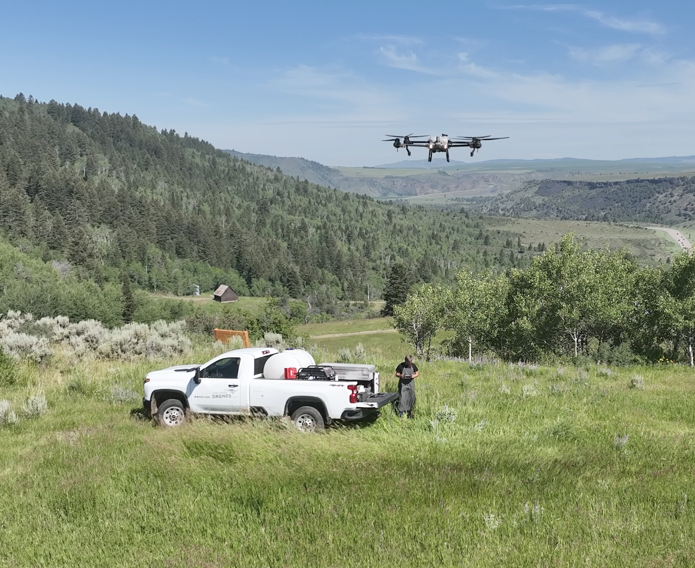
Acreage
Our technology allows us to map, spray, and spread with precision. Automated flight systems ensure that nothing gets missed, and in-flight terrain follow allows our drones to navigate steep or rocky terrain with ease.
Acreage Spraying Is Best For
- Pastures
- Weed Control
- Fertilizing
- Seeding
-Row Crops
Manual Flight
Not everything is laid out nicely. For those jobs that automation won’t suffice, let a professional manually fly. In-drone cameras allow our operators to visually identify areas that need to be addressed and apply the right amount of chemical at the same time.
Spot Spraying is Best For
- Mosquito Abatement
- Invasive weed Control
- Trees and Brush
- Canal Banks
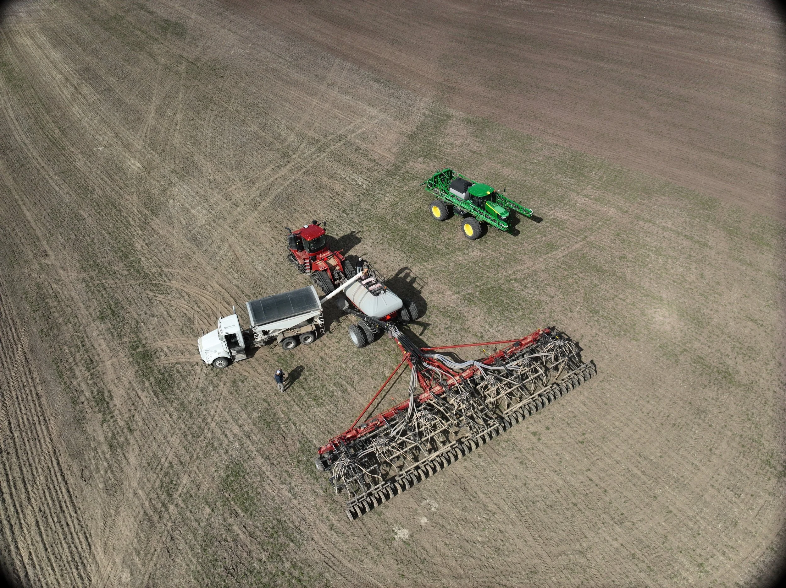
Cooperation
We’re happy to collaborate with other professionals to ensure the job gets done right. The added capabilities of our drones and operators can push your operation to the next level.
Some Ways We Cooperate
- RGB Field Imaging for Insurance
- Near Infrared Imaging to Monitor Photosynthesis Levels
- Variable Rate Application Maps*
- Spraying Borders and Treacherous Areas
* Compatible with DJI and John Deere